
Forecasters warn of strengthening winds, heavy rain and possible thunderstorms
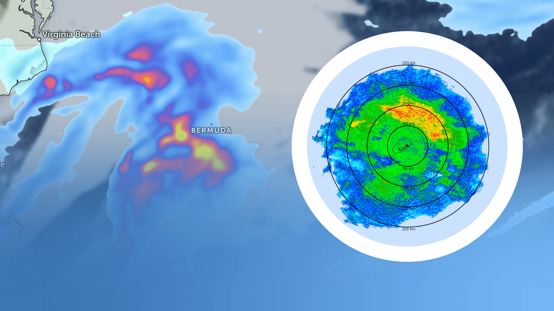
Image: Satellite imagery from Zoom.Earth and surface rainfall intensity radar from the Bermuda Weather Service.
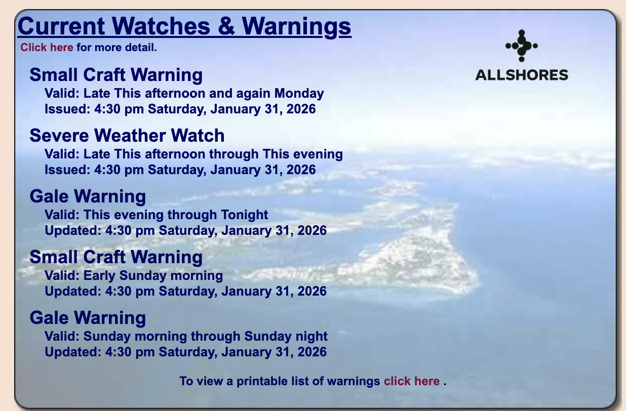
The Bermuda Weather Service has issued a severe weather watch for the island, as “a complex dual centered low” west of Bermuda continues to intensify, bringing deteriorating conditions.
Officials say gale-force winds are expected to “gust storm force within periods of rain and showers,” which “could become heavy at times with possible thunderstorms gusting above fifty knots, warranting a severe weather watch.”
Tonight’s forecast calls for rain and showers turning heavy at times, with a chance of thunder. Winds will be southeasterly, strengthening from strong to gale force and gusting to storm force, particularly in elevated or exposed areas. Temperatures are expected to fall to around 65°F.
Models also suggest that 2-3” of rainfall is possible this evening.
Conditions are expected to remain unsettled on Sunday, with cloudy spells and bouts of blustery showers. Winds will veer southwesterly and intensify again, becoming gale force with gusts to storm force during the morning.
Winds then veer “westerly strong to gale force overnight with gusts to gale force and west-northwesterly strong late night.”
Regarding our waters, the BWS adds: “Rough to very rough seas soon build high on Sunday, with hazardous long period swell developing as seas peak around 30ft outside the reef, diminishing slightly on Monday.”
The high on Sunday is forecast near 69°F, with a low around 57°F overnight.
To stay up to date with the latests updates from the Bermuda Weather Service, visit weather.bm .